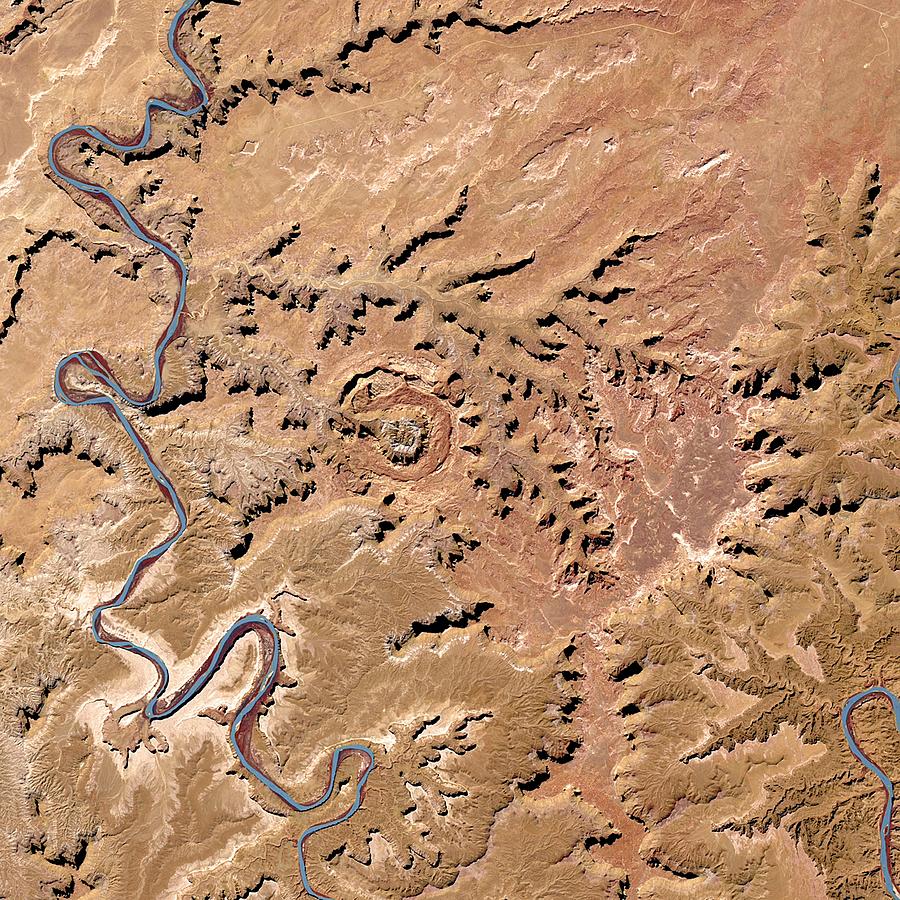
Upheaval Dome

by Nasa
Title
Upheaval Dome
Artist
Nasa
Medium
Photograph - Photograph
Description
Upheaval dome, Utah, USA, satellite image. Upheaval dome is an eroded impact crater (centre middle) that measures 5 kilometers in diameter. It was created by an impact that occured roughly 5 million years ago. Imaged by the Operational Land Imager (OLI) on board the Landsat 8 satellite on 13th March 2015. The OLI sensor detects wavelengths across 9 spectral bands. This image was created using infrared, red and green spectral bands. It depicts an area measuring 26 kilometres across.
Uploaded
October 7th, 2018
Statistics
Viewed 663 Times - Last Visitor from Fairfield, CT on 04/24/2024 at 11:47 AM
Embed
Share
Sales Sheet
Comments
There are no comments for Upheaval Dome. Click here to post the first comment.


