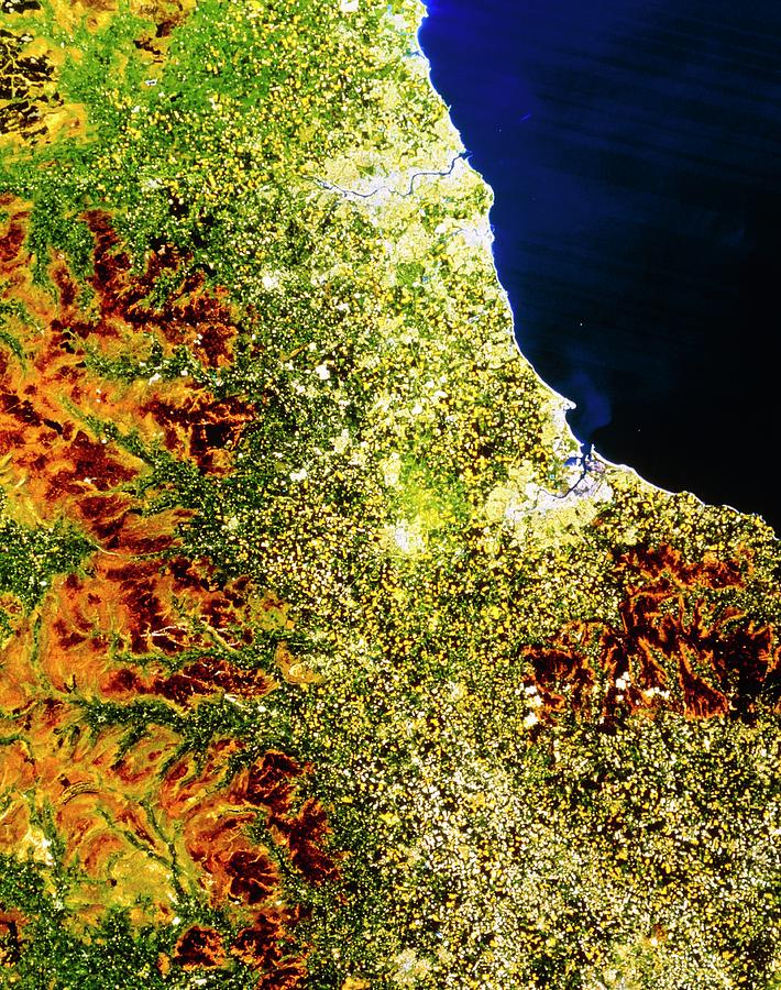
True-colour Satellite Image Of North-east England

by Nrsc Ltd/science Photo Library
Title
True-colour Satellite Image Of North-east England
Artist
Nrsc Ltd/science Photo Library
Medium
Photograph - Photograph
Description
North-east England. True-colour satellite image of north-east England. North is at top. The city of Newcastle-upon-Tyne lies on the river Tyne at upper centre. The smaller city to the south of it is Sunderland. At centre right, on the coast of the North Sea, is the town of Hartlepool. Middlesbrough is just inland of Hartlepool, whilst further inland (at centre) is the town of Darlington. At bottom right is the city of York; the agricultural area running up through the centre of the image is known as the Vale of York. The brown of the Pennine hills (at left) and Yorkshire Moors (at lower right) also appear.
Uploaded
September 12th, 2018
Statistics
Viewed 403 Times - Last Visitor from Cambridge, MA on 04/24/2024 at 2:06 PM
Embed
Share
Sales Sheet
Comments
There are no comments for True-colour Satellite Image Of North-east England. Click here to post the first comment.


