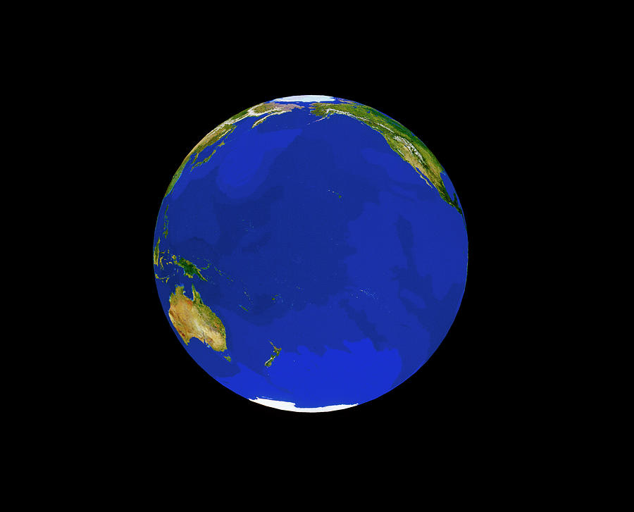
Satellite View Of The Pacific Ocean

by Copyright Tom Van Sant/geosphere Project, Santa Monica/science Photo Library
Title
Satellite View Of The Pacific Ocean
Artist
Copyright Tom Van Sant/geosphere Project, Santa Monica/science Photo Library
Medium
Photograph - Photograph
Description
Satellite image of the Pacific Ocean. The picture is a composite created from thousands of separate images recorded by the Tiros-N series of meteorological satellites of NOAA. Each Tiros image was selected to best show the characteristics of a particular region. The chosen images were compiled into a vast database using a supercomputer which then generated this composite picture. The picture is one of the results of the GeoSphere Project, created by Tom Van Sant in Santa Monica, California.
Uploaded
October 2nd, 2018
Statistics
Viewed 1,574 Times - Last Visitor from New York, NY on 04/25/2024 at 10:38 AM
Embed
Share
Sales Sheet


