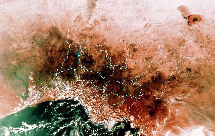
Satellite Mosaic Of Nigeria

by Mda Information Systems/science Photo Library
Title
Satellite Mosaic Of Nigeria
Artist
Mda Information Systems/science Photo Library
Medium
Photograph - Photograph
Description
Nigeria seen from space. False-colour mosaic of satellite images showing the African state of Nigeria. The blue lines superimposed on the image show the boundaries of Nigeria's provinces. Most of the land is forested (dark), with the northern provinces in semi-desert. The water at lower left is in the Gulf of Guinea, part of the eastern Atlantic Ocean. The data for this image were gathered by NOAA weather satellites.
Uploaded
September 24th, 2018
Statistics
Viewed 377 Times - Last Visitor from Fairfield, CT on 04/17/2024 at 10:30 PM
Embed
Share
Sales Sheet
Comments
There are no comments for Satellite Mosaic Of Nigeria. Click here to post the first comment.


