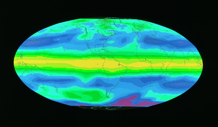
Satellite Image Showing Aereosol

by Nasa Gsfc/science Photo Library
Title
Satellite Image Showing Aereosol
Artist
Nasa Gsfc/science Photo Library
Medium
Photograph - Photograph
Description
Concentration of aerosols in the atmosphere. False-colour satellite image of the world showing the aerosol optical depth of the atmosphere from region to region. Aerosol optical depth provides a measure of the concentration of aerosols (suspensions such as dust and liquid droplets) in the atmosphere. Blue areas indicate the presence of relatively few aerosols, whereas the yellow areas, such as the band along the equator, correspond to the highest concentrations. The image was recorded by the SAGE II (Stratospheric Aerosol and Gas Experiment) satellite between August 27 and October 6 1986. Data supplied by McCormick, Kent and Schaffner, NASA/Langley.
Uploaded
September 24th, 2018
Statistics
Viewed 204 Times - Last Visitor from Cambridge, MA on 04/25/2024 at 3:25 AM
Embed
Share
Sales Sheet
Comments
There are no comments for Satellite Image Showing Aereosol. Click here to post the first comment.


