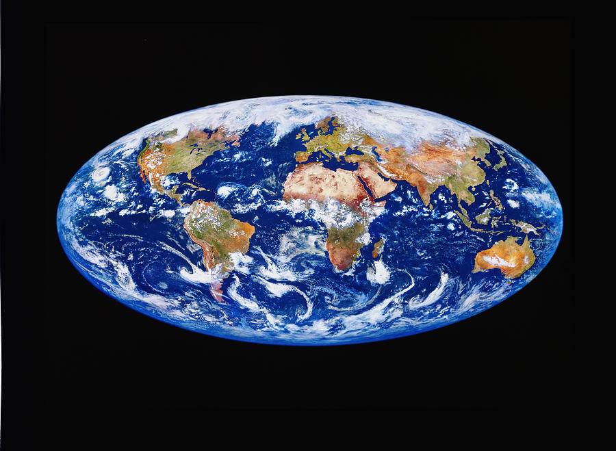
Satellite Image Of The Earth

by Kevin A Horgan/science Photo Library
Title
Satellite Image Of The Earth
Artist
Kevin A Horgan/science Photo Library
Medium
Photograph - Photograph
Description
Earth from space. True-colour elliptical satellite image of the whole surface of the Earth, centred on Europe and Africa. North is at top. Temperate and tropical regions appear green as they are vegetated. Arid areas are yellow and brown. Oceans and seas are blue in colour. Both snowy regions and clouds are light blue/white. Image composed of data from several different satellites.
Uploaded
September 20th, 2018
Statistics
Viewed 321 Times - Last Visitor from Wilmington, DE on 04/15/2024 at 7:35 AM
Embed
Share
Sales Sheet
Comments
There are no comments for Satellite Image Of The Earth. Click here to post the first comment.


