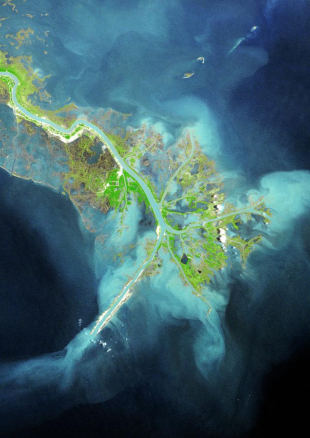
Mississippi Delta

by Planetobserver/science Photo Library
Title
Mississippi Delta
Artist
Planetobserver/science Photo Library
Medium
Photograph - Photograph
Description
Mississippi Delta. True colour Landsat satellite image of the Mississippi River Delta, Louisiana, USA. North is at top. The Mississippi River is seen running from top left into the Gulf of Mexico at bottom left. A delta is an area of sedimentation (deposition) at the mouth of a river. It is transitory and new channels are constantly forming while others become blocked. Image taken on 9th April 1976.
Uploaded
October 2nd, 2018
Statistics
Viewed 984 Times - Last Visitor from Fairfield, CT on 04/23/2024 at 12:51 PM
Embed
Share
Sales Sheet


