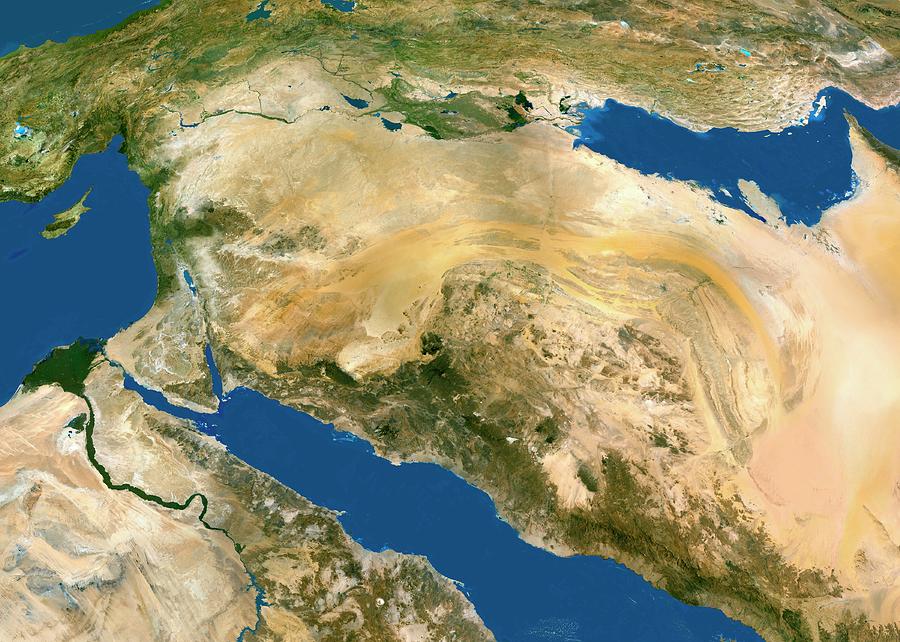
Middle East

by Worldsat International/science Photo Library
Title
Middle East
Artist
Worldsat International/science Photo Library
Medium
Photograph - Photograph
Description
Middle East, satellite image. The deserts (light brown) of Saudi Arabia dominate this image that is distorted by Earth's curvature. The Persian Gulf (upper right) and the Red Sea (lower centre) border the Arabian Peninsula that has mountains (dark brown) on its western coast. The River Nile (lower left) has a delta on Egypt's Mediterranean Sea coast, south of the island of Cyprus. Israel's coast (green) is below and right of Cyprus. Across top, mountains make up Iran (right) and Turkey (left). A green area (upper centre) lies in Iraq.
Uploaded
September 12th, 2018
Statistics
Viewed 492 Times - Last Visitor from Ottawa, ON - Canada on 04/25/2024 at 2:01 AM
Embed
Share
Sales Sheet
Comments
There are no comments for Middle East. Click here to post the first comment.


