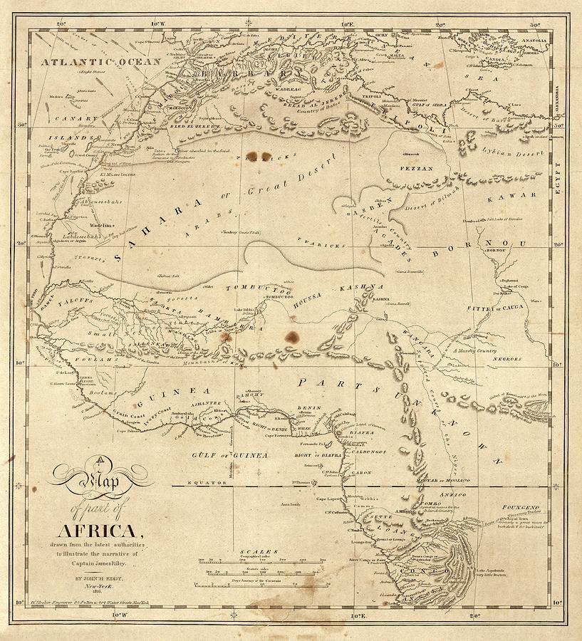
Map Of North-western Africa

by Library Of Congress, Geography And Map Division
Title
Map Of North-western Africa
Artist
Library Of Congress, Geography And Map Division
Medium
Photograph - Photograph
Description
Map of north-western Africa. 19th-century map of the north-western regions of Africa, illustrating the story of the August 1815 shipwreck of the crew of the US merchant ship 'Commerce'. 'Sufferings in Africa' (1817) by Captain James Riley (1777-1840) told of the crew's desert journey, captivity and arrival in Essaouira (Mogador, upper left). At the time, much of the African interior was poorly mapped. The most detailed knowledge was of the North African coast, along the Niger River (across centre) and around the mouth of the Congo River (lower right). Map published in 1816 in New York by US geographer John Hartshorne Eddy (1783-1817).
Uploaded
July 22nd, 2016
Statistics
Viewed 1,406 Times - Last Visitor from New York, NY on 04/18/2024 at 8:25 AM
Embed
Share
Sales Sheet
Comments
There are no comments for Map Of North-western Africa. Click here to post the first comment.


