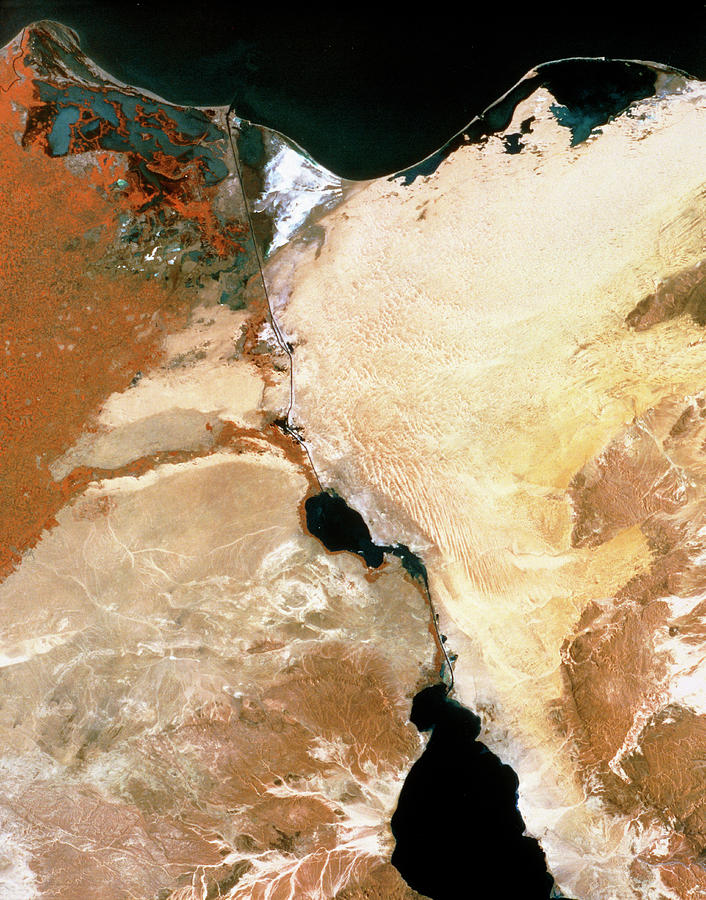
Infrared Satellite Image Of Suez Canal & Nile Dlta

by Mda Information Systems/science Photo Library
Title
Infrared Satellite Image Of Suez Canal & Nile Dlta
Artist
Mda Information Systems/science Photo Library
Medium
Photograph - Photograph
Description
Suez Canal. Infrared satellite image of the Suez canal (at centre), Egypt, with parts of the Nile Delta (at left) and Sinai peninsula (at right). North is at top. In the infrared range water appears black, barren areas are yellow & brown, buildings are grey and green vegetation is red. The Suez canal links the Red (at bottom centre) and Mediterranean (at top) seas. At the north end of the canal is Port Said and at the south end is Suez. The canal passes through the salty Great Bitter Lake (at lower centre). The canal provides the fastest route between Europe and Asia. Image taken by the American Landsat satellite.
Uploaded
September 15th, 2018
Statistics
Viewed 321 Times - Last Visitor from Ottawa, ON - Canada on 04/18/2024 at 11:09 PM
Embed
Share
Sales Sheet
Comments
There are no comments for Infrared Satellite Image Of Suez Canal & Nile Dlta. Click here to post the first comment.


