India

by Nasa
Title
India
Artist
Nasa
Medium
Photograph - Photograph
Description
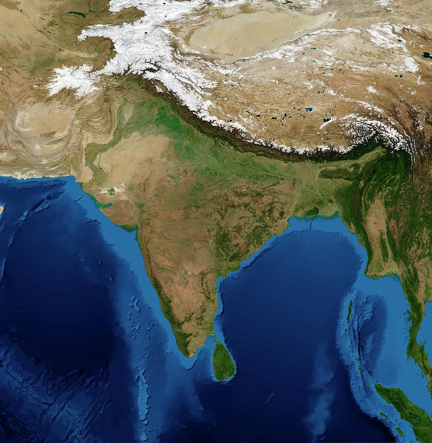
India. Blue Marble: Next Generation cloud-free topographic and bathymetric map of India and surrounding countries in July 2004. China is at top right. Highlands and lowlands are shown as ridges and flat areas. Snow on the Himalaya mountains is white. The seabed depth varies from shallow (light blue) on the continental shelves, to deep ocean basins (dark blue). Topographic and bathymetric data is usually gathered by using aerial and satellite imagery combined with radar and sonar mapping. Landcover data is from NASA's Moderate Resolution Imaging Spectroradiometer (MODIS) sensor aboard the Terra satellite.
Uploaded
October 7th, 2018
Statistics
Viewed 1,381 Times - Last Visitor from Fairfield, CT on 04/23/2024 at 5:11 AM
Embed
Share
Sales Sheet
Comments
There are no comments for India. Click here to post the first comment.


