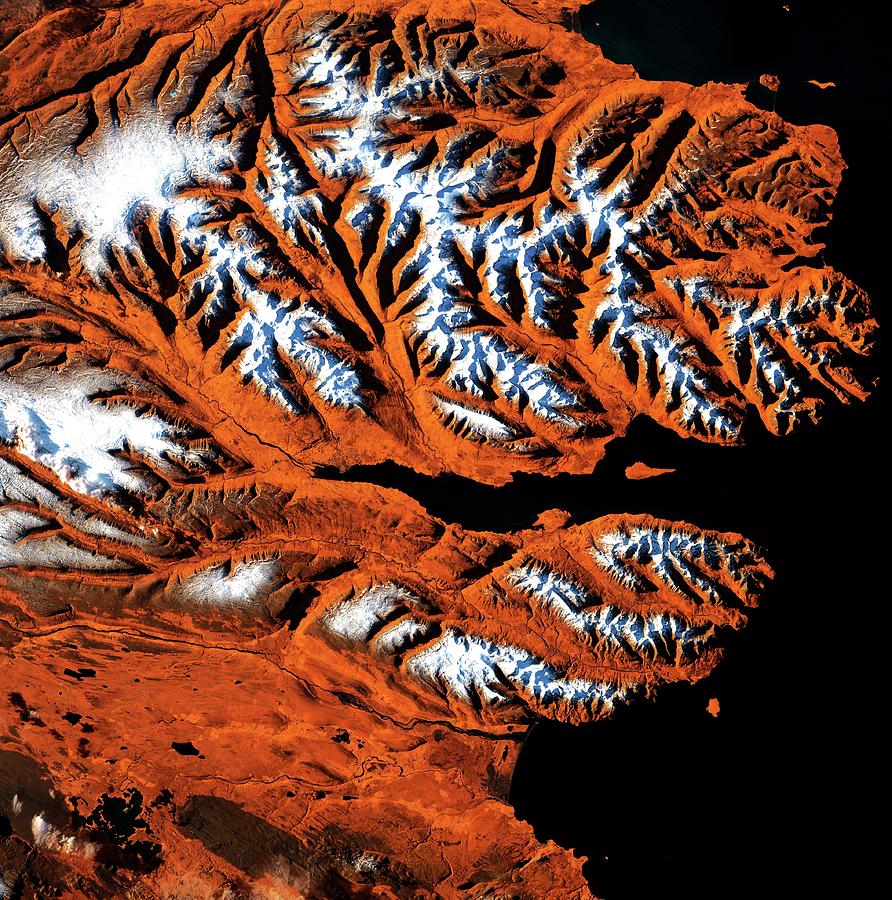
Icelandic Fjords

by Us Geological Survey/science Photo Library
Title
Icelandic Fjords
Artist
Us Geological Survey/science Photo Library
Medium
Photograph - Photograph
Description
Icelandic fjords, satellite image. This area of Iceland's northern coast is centred on the Eyjafjordur, a deep fjord that juts into the mainland between steep mountains. At its mouth is the small Hrisey Island. The ice-free port city of Akureyri lies near the fjord's narrow tip, and is Iceland's second largest city after the capital Reykjavik. Image data obtained by the Landsat 7 satellite on 21 October 1999.
Uploaded
October 7th, 2018
Statistics
Viewed 437 Times - Last Visitor from Cambridge, MA on 04/18/2024 at 9:41 AM
Embed
Share
Sales Sheet
Comments
There are no comments for Icelandic Fjords. Click here to post the first comment.


