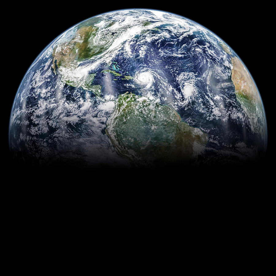
Hurricanes Irma

by Nasa/science Photo Library
Title
Hurricanes Irma
Artist
Nasa/science Photo Library
Medium
Photograph - Photograph
Description
Satellite image of Hurricane Irma over Puerto Rico, Hurricane Jose in the Atlantic Ocean, and Hurricane Katia off the Mexican Gulf coast. Irma made landfall on the Leeward Islands as a category 5 storm with sustained winds of 295 kilometres per hour in the early morning of the 6th September. First hit was Barbuda, where over 90% of buildings were destroyed. Significant damage and loss of life were reported on the other Leeward Islands as Irma continued northwards. Jose is gaining strength as it also heads towards the Leeward Islands. Katia became a category 1 hurricane on the afternoon of the 6th and is expected to strengthen as it heads west towards Mexico. Data obtained with the Visible Infrared Imaging Radiometer Suite (VIIRS) on a Suomi National Polar-orbiting Partnership (SNPP) weather satellite on 6th September 2017.
Uploaded
October 7th, 2018
Statistics
Viewed 672 Times - Last Visitor from New York, NY on 04/18/2024 at 4:03 AM
Embed
Share
Sales Sheet
Comments
There are no comments for Hurricanes Irma. Click here to post the first comment.


