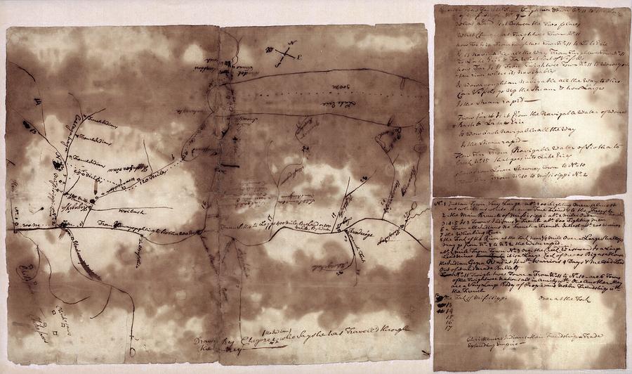
French And Indian War Map

by Library Of Congress, Geography And Map Division
Title
French And Indian War Map
Artist
Library Of Congress, Geography And Map Division
Medium
Photograph - Photograph
Description
French and Indian War map. 18th-century map of the lands along the Mississippi River, drawn in around 1755 by a Native American named Chegeree. The map is oriented with north toward upper right. It shows the area from Lake Erie to the mouth of the Ohio River. The sheets at right consist of questions and information relating to the map. It is thought the map was made for a British official during the French and Indian War of 1754 to 1763. The map shows French military strength in the Ohio and Mississippi River valleys. The French and British were fighting for control of the North American interior. Identified locations include Fort Duquesne ('French Fort').
Uploaded
June 29th, 2016
Statistics
Viewed 832 Times - Last Visitor from Fairfield, CT on 04/25/2024 at 6:54 AM
Embed
Share
Sales Sheet
Comments
There are no comments for French And Indian War Map. Click here to post the first comment.


