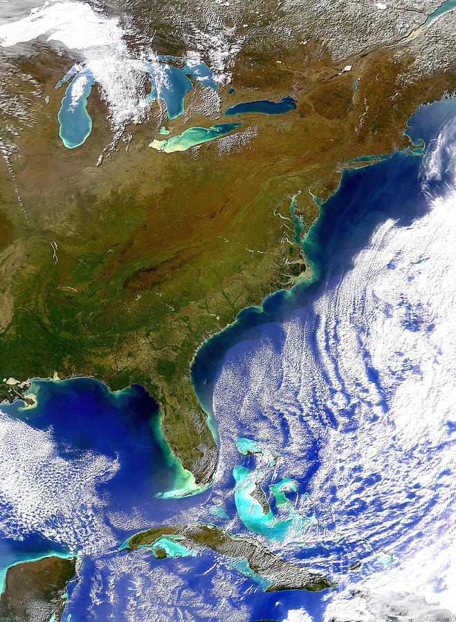
East Coast Of Usa

by Digital Globe/science Photo Library
Title
East Coast Of Usa
Artist
Digital Globe/science Photo Library
Medium
Photograph - Photograph
Description
East coast of the USA. Satellite image of the east coast of the USA. North is at top. Land is brown, water is blue/green and clouds and snow and ice are white. The Atlantic seaboard of the USA runs from Maine (upper right) down to Florida (peninsula, lower left). To the left of Florida is the Gulf of Mexico, with part of Mexico and Belize seen at bottom left. Cuba is at lower centre, with other Caribbean islands at lower right. The Great Lakes (upper left), on the US- Canadian border, are the largest expanse of fresh water in the world.
Uploaded
February 24th, 2021
Statistics
Viewed 660 Times - Last Visitor from New York, NY on 04/20/2024 at 1:41 AM
Embed
Share
Sales Sheet


