Previous Image

|

Next Image
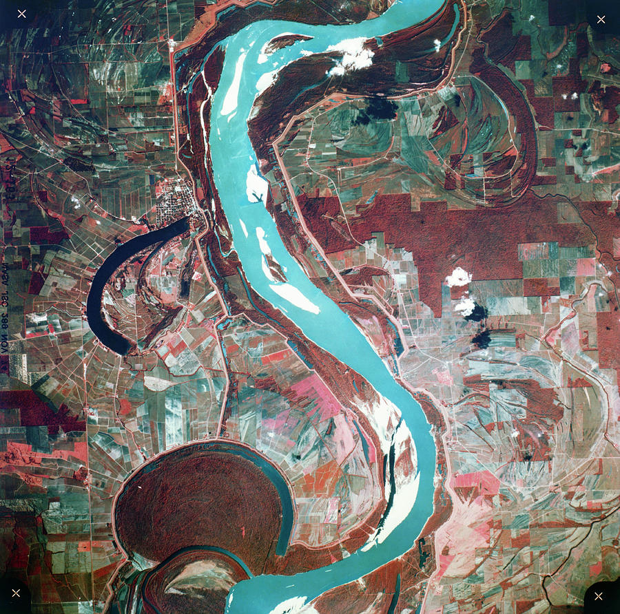
Aerial Infrared Photo Of Bends In Mississippi Photograph by Nasa/science Photo Library

Similar Images

The Wright brothers' first powered by Science Photo Library
The Monitor and Merrimac, 1862 by Science Photo Library
Boeing B-29 'enola Gay' by Us Air Force
Mulberry Street, New York, circa 1900 by Science Photo Library
Barrel Manufacturing #4 by Jim West/science Photo Library
East Coast Of Usa by Digital Globe/science Photo Library
Lake Travis by Jim West
Wright Brothers Kitty Hawk Glider #2 by Library Of Congress
Usa-mexico Border Surveillance by Jim West
Early Map Of The World by Library Of Congress/science Photo Library
Geological Map Of The Usa by Library Of Congress, Geography And Map Division/science Photo Library
Wright Brothers Kitty Hawk Glider #4 by Library Of Congress
Deepwater Horizon Oil Rig Fire by U.s Coast Guard/science Photo Library
Earth From Space #2 by Nasa
Theodore Roosevelt And John Muir by Library Of Congress
Burning Man Festival by Geoeye/science Photo Library
Usa At Night by Planetobserver
Falcon Heavy Rocket Launch By Spacex by Spacex/science Photo Library
Landspout Tornado #3 by Jim Reed Photography/science Photo Library
Lake Travis #1 by Jim West

Comments

There are no comments for Aerial Infrared Photo Of Bends In Mississippi.   Click here to post the first comment.

Recently Viewed

Aerial Infrared Photo Of Bends In Mississippi by Nasa/science Photo Library
Previous Image Next Image

Help

Contact Us

Frequently Asked Questions

Return Policy

Returns

Terms of Use

Privacy Policy

Location Settings

Cambridge, MA (United States)

Currency: USD ($)

Units: Inches

Stay Connected

Sign up for our newsletter for exclusive deals, discount codes, and more.


Copyright © 2024 sciencephotogallery.com - All Rights Reserved - Website Powered by Fine Art America / Pixels - Original Source - Tapestries