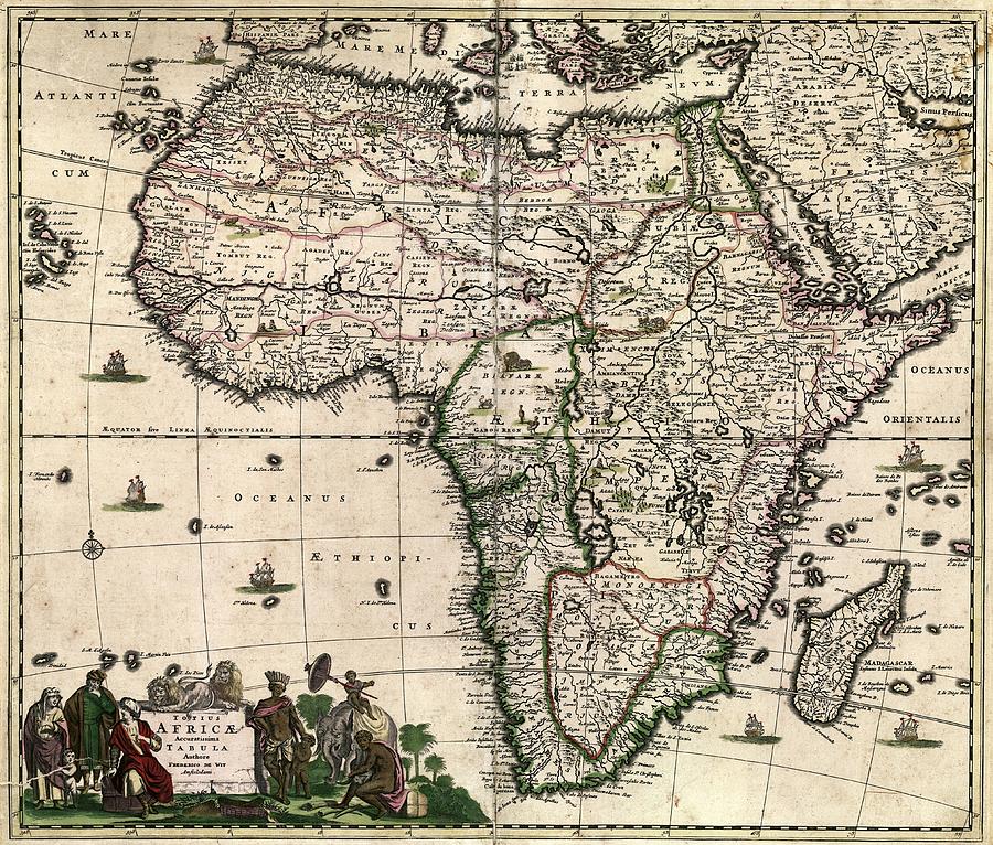
Map Of Africa #7

by Library Of Congress, Geography And Map Division
Title
Map Of Africa #7
Artist
Library Of Congress, Geography And Map Division
Medium
Photograph - Photograph
Description
Map of Africa. 17th-century map of the continent of Africa, produced in Amsterdam in 1688 by Dutch cartographer Frederick de Wit (c.1629-1706). The map is titled in Latin at bottom left: 'Totius Africae accuratissima tabula'. Ethnographic illustrations of indigenous peoples and animals adorn the title. Much of the coast of Africa was mapped by Portuguese navigators on their voyages of discovery in the 15th and 16th centuries. Much of the interior was still unknown and incorrectly mapped. The southern Atlantic Ocean is named 'Oceanus Aethiopicus' (Ethiopian Ocean). The Indian Ocean is named 'Oceanus Orientalis' (the Eastern Ocean).
Uploaded
July 30th, 2016
Statistics
Viewed 700 Times - Last Visitor from Romeo, MI on 04/23/2024 at 1:49 PM
Embed
Share
Sales Sheet
Comments
There are no comments for Map Of Africa #7. Click here to post the first comment.


