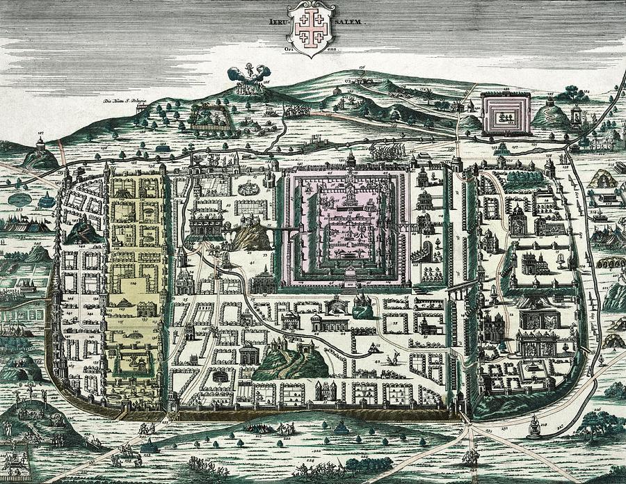
Map Of Jerusalem #1

by Library Of Congress/science Photo Library
Title
Map Of Jerusalem #1
Artist
Library Of Congress/science Photo Library
Medium
Photograph - Photograph
Description
Map of Jerusalem. 18th-century map of the city of Jerusalem at the time of Christ, with 254 locations labelled. North is at left. The walled area shown here encompasses what is now the Old City of Jerusalem, Israel. At centre are the buildings surrounding the Second Temple (pink). Biblical scenes include Christ carrying his cross to his crucifixion at Golgotha (Calvary, bottom left), and Christ on the Mount of Olives and in the Garden of Gethsemane (both below and left of the title shield). This map was produced in around 1730 by the German map publisher Matthus Seutter (1647-1756), who included titles in German and Latin and a key in German.
Uploaded
September 21st, 2018
Statistics
Viewed 1,102 Times - Last Visitor from New York, NY on 04/20/2024 at 1:28 AM
Embed
Share
Sales Sheet


