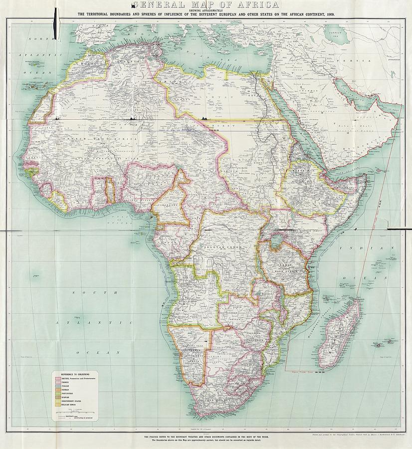
Map Of Africa #1

by Library Of Congress, Geography And Map Division
Title
Map Of Africa #1
Artist
Library Of Congress, Geography And Map Division
Medium
Photograph - Photograph
Description
Map of Africa. Political map showing African regional boundaries in 1909. The Berlin Conference of 1884-85 had formalised the division of Africa among the European powers. The borders are colour-coded (key at bottom left): British (pink, mainly Sudan and southern Africa), French (red, mainly French West Africa), Italian (blue), German (orange), Portuguese (green), Spanish (dark brown), and Belgian (light brown). Independent states are yellow: Liberia, Morocco, Egypt and Ethiopia. This map is from the 1909 edition of 'The Map of Africa by Treaty' (first edition 1895 by Edward Hertslet) by Richard William Brant and Harry Leslie Sherwood.
Uploaded
June 29th, 2016
Statistics
Viewed 1,935 Times - Last Visitor from Fairfield, CT on 04/23/2024 at 1:15 PM
Embed
Share
Sales Sheet
Comments
There are no comments for Map Of Africa #1. Click here to post the first comment.


